Hiking route: Jyske Ås - 21,6 km
Distance: 161.11 Km
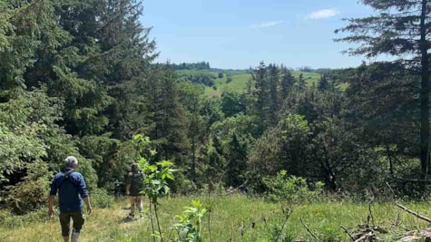
Jyske Ås offers a magnificent landscape and unique nature, and you experience it all up close when you walk this unique hiking route.
Updated by: Destination NORD | info@destination-nord.dk
Jyske Å's separate footpath is approx. 30 km. and starts at Dronninglund Castle and takes you on a discovery up through the entire hilly ridge of Jyske Ås.
A separate Jyske Ås Cycle Route shares its course with the national Army Route and also begins at Dronninglund Castle.
There are 3 primitive campsites on the route, which ends in Østervrå.
Clearing Shelters in the protected area, Slettingen and Grevsmosen
Shelter site Stenbakken, whose address is near Stenbakkevej 5, 9330 Dronninglund
shelters at Lunken in Søheden Skov
Østervrå primitive shelter site in Østervrå
Download the leaflet about the Jyske Ås cycle and footpath here
Download the leaflet about Jyske Ås here
Updated by: Destination NORD | info@destination-nord.dk
 Photographer: Brønderslev Business & Tourism
 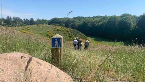 Photographer: Brønderslev Business & Tourism
 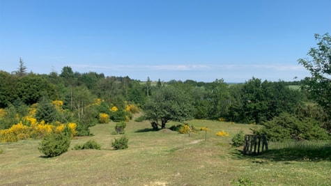 Photographer: Brønderslev Business & Tourism
  Photographer: Brønderslev Business & Tourism Copyright: Brønderslev Business & Tourism